
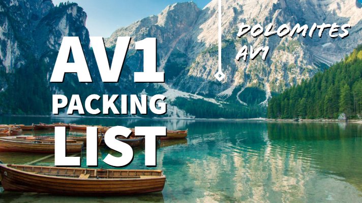
What is the AV1?
The AV1 is the premier long-distance trekking route in the Dolomites. It crosses the entire range from north to south so it is a superb showcase for the sheer beauty of these mountains. It is the perfect way to explore the range’s exquisite beauty and its fascinating open-air museum of WW1 history. It is a linear route, entirely within Italy, between Lago di Braies in the north and Belluno in the south. On the journey, you cross incredible high mountain passes enabling travel from magnificent valley to magnificent valley. And there are exquisite alpine plateaus, wonderful grassy pastures and carpets of wild-flowers, the like of which you will never have seen before.
Basic Statistics
121km long with 7,200 metres of ascent and 8,200 metres of descent. The highest point is 2752m.
What is so special about the Dolomites?
|
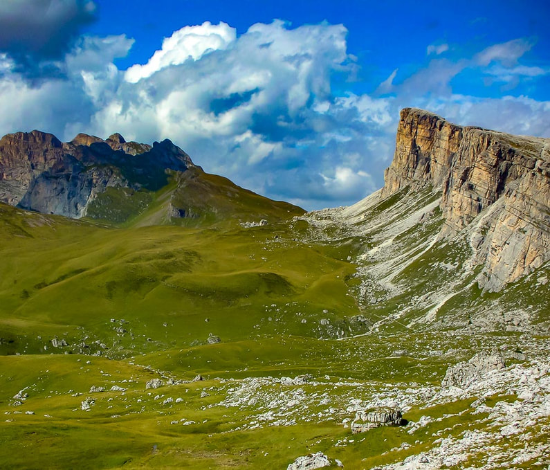
Although the Dolomites are immediately adjacent to the main Alpine chain, they are different. Very different. Different in shape. Different in colour. And most importantly from a trekker’s point of view, different in atmosphere and aura. Of these peculiarities, the unique shape of these magnificent mountains is most instantly obvious: the sharp pointy peaks (with their jagged and often seemingly impossible angles), spiky broken crests and incredibly sheer cliffs and walls, are unlike those in any other range. And the colour of the Dolomites is striking too: they are made of limestone and are known as the ‘Pale Mountains’ for good reason. The rock here varies in shade from pale grey to an unforgettable bright white which takes on a sublime pink hue at sunrise and sunset.
However, it is the aura of the Dolomites which will shape your experience the most and leave you yearning to return. This ambiance is less tangible than the mere physical appearance of the peaks but you will feel it more strongly each day as you wander through the plateaus and valleys of these incomparable mountains. Of course the sheer beauty of the surroundings provides the foundations for these feelings but other factors shape them. The sad history of the region certainly has a part to play: the Dolomites served as the arena for much fighting during World War 1 (WW1). Many of the paths you walk were military ‘roads’ built during this period and other evidence of the conflict is still on display in the form of bunkers and tunnels. As is often the case in the best stories, beauty and sorrow combine for an evocative and memorable experience. The cultural characteristics of the Dolomites also shape the experience. In the northern sections, often German is the first language and the southern sections are largely Italian speaking. The cultures of these two zones are very different and this is most apparent from the different foods served at the huts (see ‘Food’ below). Indeed, the food is particularly wonderful in the Italian areas. So good in fact that we would argue that the AV1 offers the finest culinary experience of any trek in the world. If that is not enough to persuade you to come, then we do not know what is! How long does it take?The standard itinerary is 11 days. But fitter walkers can have a go at schedules of as little as 6 days. Our guidebook sets out 7 different itineraries of 11, 10, 9, 8, 7 and 6 days. It really is up to you and your fitness level.
|
AV1: an amazing sunrise from Rifugio Carestiato (Stage 8a)
|
Well now that we have brought up fitness levels....Am I fit enough to do it?
The AV1 is a multi-day trek with significant distances to travel, and metres to climb, each day. Accordingly, a reasonable level of fitness is required. However, it is fair to say that it is far from the most difficult trek in the Alps and it is therefore an excellent option for those new to trekking. The overall distance is short compared to some other Alpine treks. And unlike some other treks, once you are ‘up’ you stay ‘up’: the AV1 rarely dips below 1500m. Of course there are climbs and descents, but there are fewer of the huge climbs experienced elsewhere.
The sensible spacing of the mountain huts (‘rifugi’) helps too: it is simple to design an itinerary to suit your own specific abilities. And, with a few exceptions, the AV1 is well-served by good paths and tracks: there are some sections which are more challenging but they can all be bypassed if required. Furthermore, if you walk in the conventional direction (N to S), the most difficult sections of the trek are undertaken towards the end when you are ‘trail-hardened’. In summary, if you are reasonably fit then this trek should be within your capabilities.
Many who have completed the TMB (the most famous Alpine trek) look to the AV1 for their next trekking experience. Accordingly, it can be useful to compare these two treks. Although they are normally completed over a similar number of days, the AV1 is shorter (121km compared to 174km) and has less climbing (7,200m compared to 9,700m). On paper therefore, the AV1 is arguably the easier undertaking. However, the terrain on some short sections of the AV1 is a little more challenging than that on the TMB.
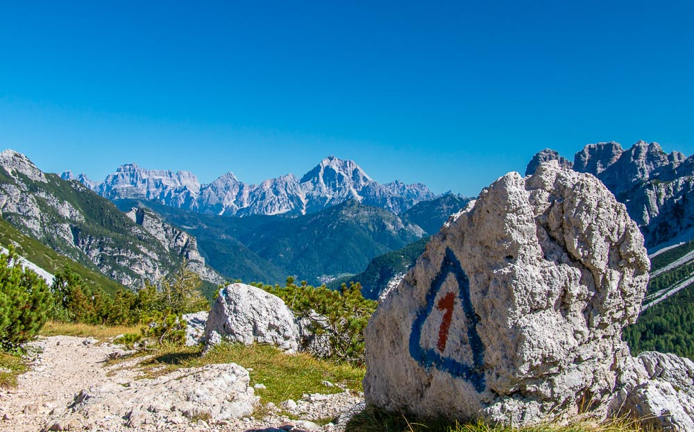
An AV1 marker on the route to Rifugio Pramperet
What are the trails like?
Much of the AV1 uses clear paths which are easy to follow. Each path in the Dolomites has its own specific number: these numbers are indicated clearly on the maps and we have also listed the relevant numbers in the introduction for each sub-stage. Furthermore, on the trail, there are frequent waymarks (painted on trees and rocks) and signs which display the path numbers. Consequently, navigation in good conditions is generally straightforward.
Although you mainly follow well-defined tracks and paths, there are some short sections of the route which are more challenging. Some parts of the AV1 are quite exposed. Furthermore, occasionally the trail disappears over rocks and boulders: navigation there can be more difficult (particularly in bad conditions) and you must concentrate on following the waymarks.
Although you mainly follow well-defined tracks and paths, there are some short sections of the route which are more challenging. Some parts of the AV1 are quite exposed. Furthermore, occasionally the trail disappears over rocks and boulders: navigation there can be more difficult (particularly in bad conditions) and you must concentrate on following the waymarks.
Should I go on an guided trip or walk independently?
|
he question we get asked the most is whether to walk independently or with a guided group. The answer is a personal one, depending upon your own particular circumstances and requirements. For many, the decision to organise the trek themselves, and to walk independently, can be almost life-changing, opening the door for more difficult challenges in the future. There is much satisfaction to be gained in planning and navigating a trek yourself and the sense of achievement on completion is to be savoured.
In theory, most could walk independently: the AV1 is within the capabilities of most reasonably fit people and the trails are generally well-marked so, in normal conditions, route-finding is largely straightforward. However, the independent trekker usually carries his own pack and is responsible for all decisions which need to be made daily such as pacing; which way to go at junctions; when to stock up with food and water; and choice of route in bad weather. For some, this will be too great a burden on top of the physical effort required simply to walk the route. For those walkers, a guided group is a great solution: the tour company typically organises food, accommodation and (if possible) transfer of luggage each night. And the guide makes all the decisions, enabling the walker to concentrate on the walking. There are a number of tour companies operating guided trips on the AV1. Self-guided tours are a popular middle-ground. The tour company books all the accommodation and provides all the advice and information required to complete the trek. However, the trekker walks the trail without a guide and normally carries his/her own pack. Many confident trekkers (who would be perfectly capable of walking independently) book a self-guided trip simply to avail of the accommodation booking service. Unlike the TMB, there is no central booking website where a number of different huts can be booked at once. On the AV1, independent trekkers need to book each hut separately and some find this to be a time-consuming and frustrating process. By booking a self-guided tour, the stress and hassle are alleviated, albeit at a price. |
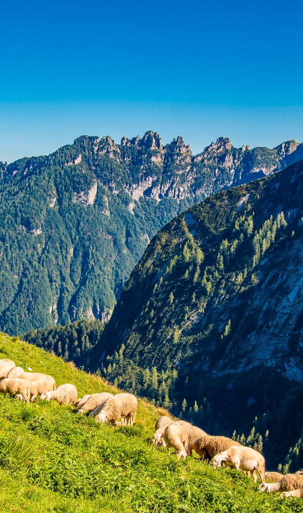
Dolomites AV1- Sheep grazing near Rifugio Pian de Fontana (Stage 10)
|
When to go?
Normally the AV1 can be tackled from late June to late September.
Late June can be a very beautiful time for walking. The weather is sunny and warm and the peaks are very photogenic, still fully-frosted with snow. Summer haze has not yet arrived so visibility is generally excellent with wide-ranging views. And there are carpets of spring wild-flowers. Of course, there is occasionally rain at this time of year but this usually lessens as the month progresses. And there are fewer visitors so accommodation is easier to find and significantly, the mountains are more peaceful. That said, trekking is becoming more and more popular so the number of early-season walkers seems to increase each year.
As with all Alpine treks, in some years, high passes can be snow-covered until early July, making parts of the AV1 difficult and/or dangerous: in such conditions, crampons and/or an ice axe might be helpful. There are now some very light and compact crampons available which weigh a mere 300g so carrying them just in case is not the burden it once was. Microspikes are another lightweight option for early-season trekkers.
July and August is the main summer season when the high passes are normally free of snow. It can be hot, sometimes reaching more than 30°C. Mornings often start with clear, sunny skies and heat up as the sun gains height. If there is to be cloud or haze, often this will arrive in the afternoon when thunderstorms are more likely. Start walking early in the morning to complete the main climb while the temperature is cooler. This is the busiest time on the AV1 and it is advisable to make bookings well in advance as accommodation is often full, particularly at weekends. Do not turn up without a reservation and expect to find accommodation. Furthermore, in this period, it can be difficult to alter your plans once on the trek: a change to one day’s schedule has a chain reaction across the rest of your trip and huts may not be able to accommodate the changes.
September is the new June! It can be the best month for walking as the weather is often more settled than in summer. Skies are usually clear and visibility excellent. Daytime temperatures are normally still warm but evenings get cooler and the days get shorter. The odd flurry of snow is possible (with the risk increasing as the month progresses) but they tend to clear quickly. It used to be that visitor numbers reduced dramatically when the Italian holidays finished at the end of August so that the mountains were significantly quieter and there was much less demand for accommodation. Nowadays, with the increased popularity of the AV1, this phenomenon is less pronounced and huts are frequently full to capacity even in September. However, it is still fair to say that the number of trekkers decreases, and bookings become easier, as September progresses. Nevertheless, it is still wise to book in advance. Towards the end of the month, accommodation starts to close for the season.
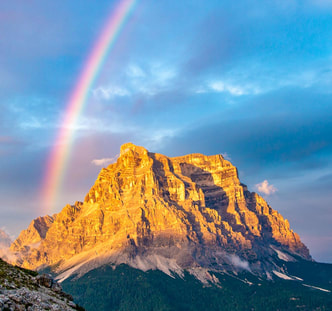
One of the AV1's legendary sunsets
Where do you stay?
The AV1 is a popular trek and the quality of accommodation has improved greatly in recent years. You will stay in mountain huts (‘rifugi’) which offer dormitory accommodation, meals and alcohol. Sometimes private rooms are also available but they book up very quickly. The huts are situated in the heart of the mountains where they are normally accessible only to walkers. A stay in a rifugio can be one of the highlights of a mountain adventure such as the AV1. They are basic but they are good value.
Do I need to book in advance?
In July and August, forward booking is essential: these days, most people have their entire trip booked before they depart. During those months, the days of ‘winging it’ are gone. Even outside of July and August, it is wise to book ahead, particularly at weekends and on sub-stages where there is only one place to stay. In June and September, fewer people walk the route so there is less demand for accommodation. However, the number of AV1 trekkers in June and September is increasing each year. In these periods, you can sometimes still get away with only booking a day or two in advance but you might be unlucky and end up without anywhere to stay: for example, you can get caught out if a large group has booked up a lot of beds.
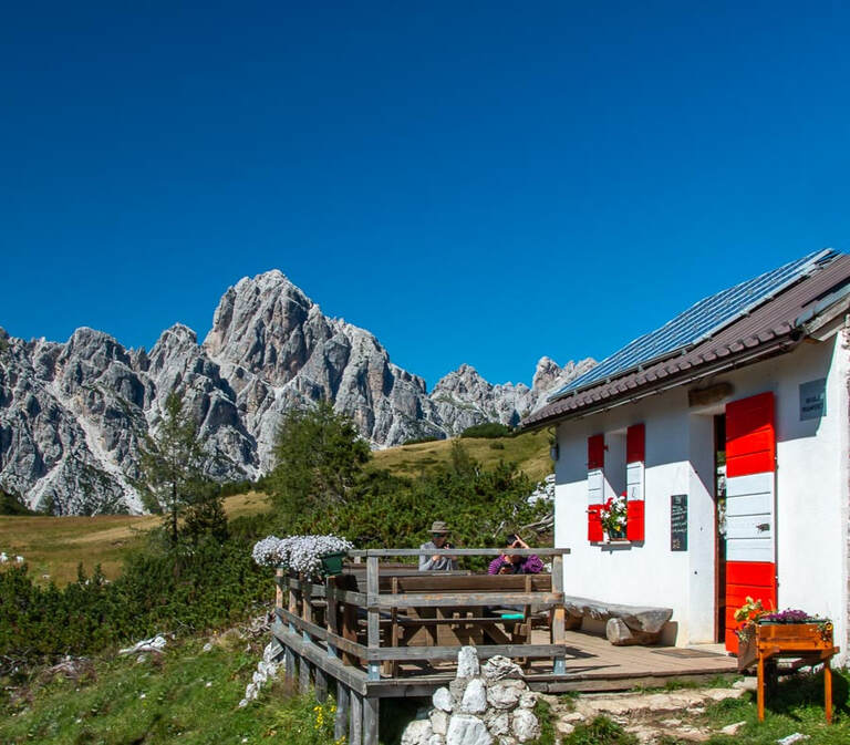
One of the amazing mountain huts on the Dolomites AV1
How much does it cost to trek the AV1?
No permits are required to hike. So if you walk independently, your only costs should be food and accommodation. In mountain huts, bed, breakfast and dinner will cost around €50-65. Campers can get by on much less.
Travelling Light
|
The lighter your pack is the more you will enjoy the trek. Every oz counts. Standard advice is to bring 'only what is absolutely necessary' but what does that actually mean? We prefer the 'Will I die, or endure pain, without it?' test. For example, that hair dryer. Yes we know it is a light travel one but you will have to carry it up more than a Mount Everest. Will you die without it? No. You may have to endure rubbish hair for a few days though. Believe us that halfway up the first mountain pass, you will be considering jettisoning it. Do you really need that make-up? That full 500ml bottle of shampoo? That laptop? It is fair to say that the more treks you do, the lighter your pack becomes. Experience helps you sift out the things that you do not really need. Be ruthless about what you take.
|
|
Is camping permitted on the AV1?
The rules governing wild camping in Italy are difficult to ascertain because there is no single national regulation. Rather, the rules are implemented regionally: in the regions of the AV1, wild camping seems to be permitted for a period of 24hr in places where no specific prohibitions have been put in place by the relevant local authorities. However, there are specific prohibitions in place in the regional parks crossed on the AV1. Our guidebook explains the position on camping in full detail.
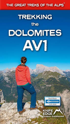
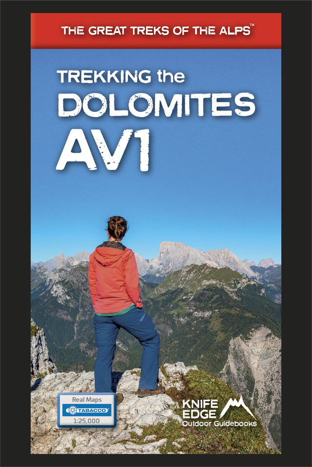
The Front Cover of our amazing new book on the Dolomites AV1
|
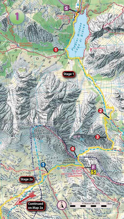
Real Tabacco Maps are included in our guidebook (1:25,000)
|
Tour du Mont Blanc (2022 updated version)
£16.99
AVAILABLE NOW!
Complete guidebook for planning and trekking the Tour du Mont Blanc, the world's most famous trek
Real maps for each stage: 1:25,000. No need to carry a separate map!
Unique Itinerary Planner: plan a bespoke itinerary to match your ability and vacation schedule. All difficult calculations of time, distance and altitude gain are done for you
Everything the trekker needs to know: route descriptions, costs, budget, difficulty, weather, how to get there, and more
Full accommodation listings: spectacularly situated mountain huts, villages and hamlets
Full section on camping: a complete list of camping locations
10 exciting variants to the main route!
Information for both self-guided and guided trekkers
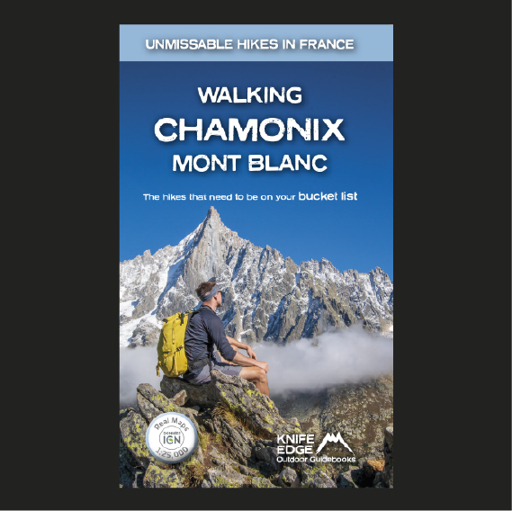
Walking Chamonix Mont Blanc
£15.99
Available Now!
The 20 hikes in the Chamonix Valley that need to be on your Bucket List. No fillers. Only must-do hikes are included.
► Real IGN Maps inside: 1:25,000
► Detailed information on public transport, including cable cars
► Our secret tips on how to get away from the crowds
► Numbered waypoints linking the Real Maps to our clear descriptions
► Graded routes to suit all abilities
► Everything the hiker needs to know: route descriptions, difficulty, weather, how to get there, and more
► Information on Wildlife and Plants
Our walks have been carefully selected to enable easy access by public transport, including the Chamonix Valley’s incredible cable car network.
Chamonix is the most famous mountain town in the world. It is where mountaineering began.
Its peerless reputation owes everything to the mighty Mont Blanc, the highest peak in Western Europe: our hikes will take you to the finest viewpoints of the mountain and its glaciers.
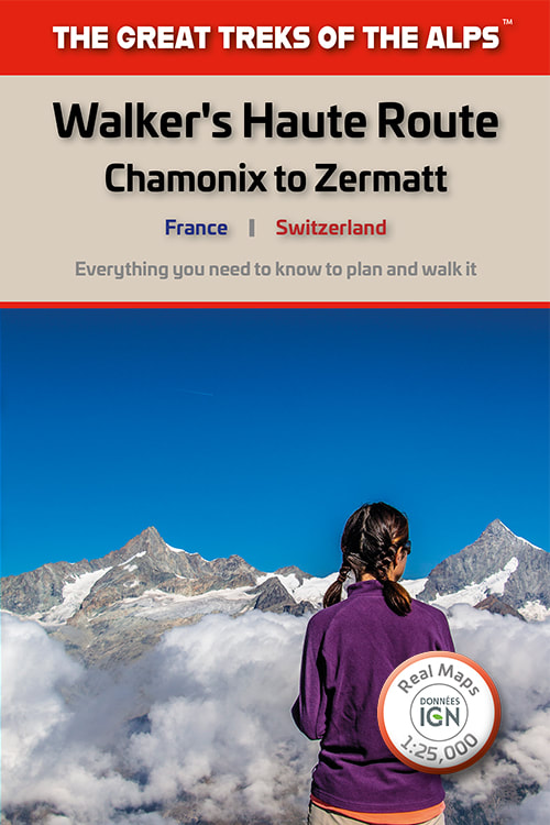
Walker's Haute Route: Chamonix to Zermatt
£14.99
AVAILABLE NOW!
Real maps for each stage: 1:25,000/1:50,000. No need to carry a separate map!
Also includes:
Real maps for each stage: 1:25,000/1:50,000. No need to carry a separate map!
Also includes:
- Unique Itinerary Planner: plan a bespoke itinerary to match your ability and vacation schedule. All difficult calculations of time, distance and altitude gain are done for you
- Everything the trekker needs to know: route descriptions, costs, budget, difficulty, weather, how to get there, and more
- Full accommodation listings: spectacularly situated mountain huts, villages and hamlets
- Full section on camping: a complete list of camping locations
- Section on Zermatt day walks
- 13 exciting variants to the main route
- Information for both self-guided and guided trekkers
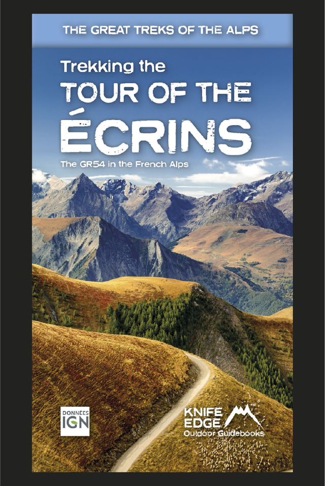
Tour of the Ecrins National Park (2nd Edition)
£18.99
AVAILABLE NOW
2nd Edition: fully re-written and updated for 2024
Complete guidebook for planning and trekking the GR54 which is arguably the finest trek in the Alps.
- Real maps for each stage: IGN 1:25,000. No need to carry a separate map!
- Unique Itinerary Planner: plan a bespoke itinerary to match your ability and vacation schedule. All difficult calculations of time, distance and altitude gain are done for you
- Everything the trekker needs to know: route descriptions, costs, budget, difficulty, weather, how to get there, equipment and more
- Full accommodation listings: spectacularly situated mountain huts, villages and hamlets
- Full information on camping
- Exciting variants to the main route!
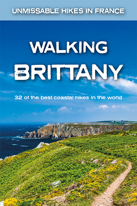
Walking Brittany
£14.99
Available Now!
32 epic coastal walks Brittany in France
Real IGN Maps inside: 1:25,000.
No ‘fillers’! Only unmissable walks made the cut.
Wild coastline: towering cliffs, remote headlands, forgotten islands and stunning beaches which would not be out of place on a Caribbean island.
32 epic coastal walks Brittany in France
Real IGN Maps inside: 1:25,000.
No ‘fillers’! Only unmissable walks made the cut.
Wild coastline: towering cliffs, remote headlands, forgotten islands and stunning beaches which would not be out of place on a Caribbean island.
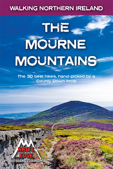
The Mourne Mountains: 30 best hikes
£14.99
Available now!
30 epic walks in Northern Ireland's highest mountains.
The only Mournes guidebook with Real OSNI Maps inside (1:25k): no need to carry separate maps!
The only Mournes guidebook written by a local walker with decades of experience.
Also includes:
▶ Numbered waypoints linking the Real Maps to our clear descriptions
▶ Graded routes to suit all abilities
▶ Everything the hiker needs to know: route descriptions, difficulty, weather, how to get there, and more
▶ 4 different ways to summit Slieve Donard, Northern Ireland's highest peak
▶ The 21 mile Mourne Wall challenge walk
▶ List of Irish place names
▶ Information on Wildlife, Plants & Geology
▶ Game of Thrones film locations
▶ Section on accommodation
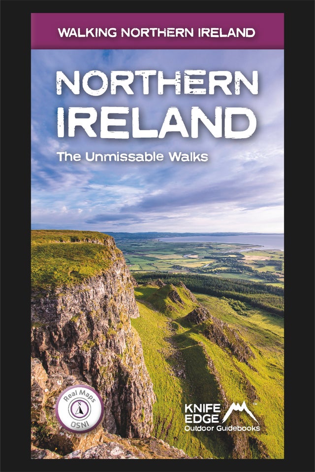
Northern Ireland: the Unmissable Walks
£14.99
Available now!
The definitive guidebook for walking in Northern Ireland: 36 epic walks hand-picked by a County Down local.
The only guidebook for Northern Ireland with real OSNI maps inside: this makes navigation easy.
The Causeway Coast, the Glens of Antrim, the Mourne Mountains, the Sperrins and much more.
Also includes:
- New walks in the Mournes which were not included in our previous Mourne Mountain book: including the Mournes Grand Traverse, our newly designed 55km challenge circuit which has been divided into two stages.
- Game of Thrones film locations
- List of Irish place names
- Numbered waypoints linking maps to text
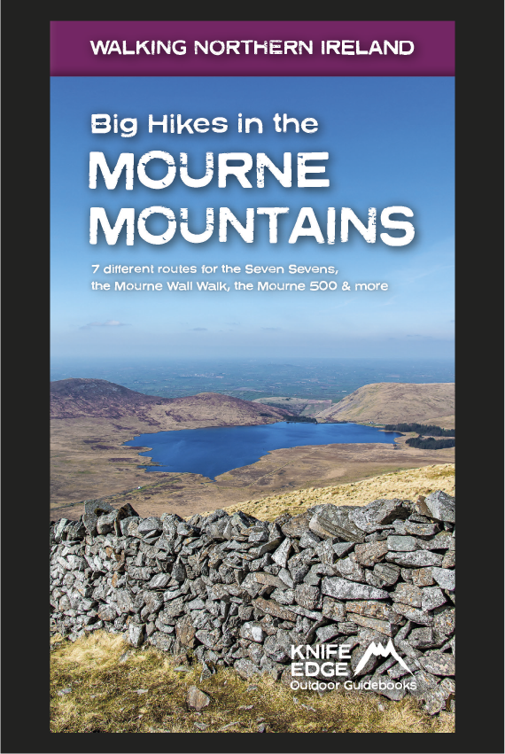
Big Hikes in the Mourne Mountains
£15.99
Available now!
A collection of epic long-distance routes for walkers and runners in Northern Ireland's highest mountains, which sweep majestically down to the Irish Sea at the pretty seaside town of Newcastle.
Real OSNI Maps inside
The routes have been hand-picked and clearly written by a local walker with decades of experience.
Wild mountain terrain: beautifully long ridges, magnificent summits and vibrant heather and gorse covered slopes.
A collection of epic long-distance routes for walkers and runners in Northern Ireland's highest mountains, which sweep majestically down to the Irish Sea at the pretty seaside town of Newcastle.
Real OSNI Maps inside
- The Seven Sevens: 7 different routes are described in full
- The Mourne Wall Walk
- The Mourne Way
- The Mourne 500
- The Denis Rankin Round
- Advice on wild camping
- Detailed information on equipment including ultralight gear for campers
- Everything the trekker needs to know: water points, preparation, weather, escape routes and more
The routes have been hand-picked and clearly written by a local walker with decades of experience.
Wild mountain terrain: beautifully long ridges, magnificent summits and vibrant heather and gorse covered slopes.
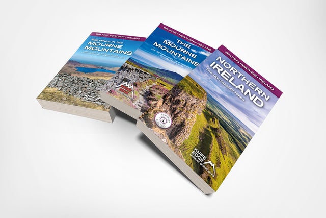
Northern Ireland Trilogy
£44.97
£30.99
All three books in our best selling Walking Northern Ireland series. They all have real 1:25,000 OSNI maps inside.
Walking Northern Ireland: 36 epic walks hand-picked by a County Down local.
The Mourne Mountains: The best guidebook for the Mourne Mountains. Written by a County Down local hiker: 30 handpicked routes.
Big Hikes in the Mourne Mountains: A collection of epic long-distance routes for walkers and runners in the Mournes. Includes seven routes for the 7-7s, the Mourne Wall Walk, The Mourne Way, the Mourne 500 and much more.
