
June Trail Conditions on the Tour du Mont Blanc: Snow Hotspots
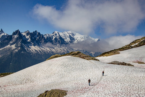
June can be the most beautiful time for trekking the Tour du Mont Blanc. The weather is often sunny and warm. The peaks are frequently at their most photogenic, still fully frosted with snow. Summer haze has not yet arrived so visibility is generally excellent, with wide-ranging views. This is peak season for wild-flowers too. Fewer visitors means that accommodation can be easier to find and significantly, the mountains are more peaceful. However, as with all Alpine treks, snow sometimes remains on the high passes until early July, making parts of the route difficult and/or dangerous: in such conditions, crampons/spikes and an ice axe might be helpful.
For those planning an early season trek, the weeks prior to the start date can be stressful because it might not become clear until the very last minute whether the snow has cleared sufficiently to hike the route safely. And then, if you do decide to go ahead, it can be difficult to know what you are going to be faced with. With that in mind, we have put together a list of places on the TMB where snow can be problematic: a list of snow hotspots, if you like. Now this list will never be exhaustive as conditions vary from year to year: wind directions and microclimatic local conditions have a major impact on exactly where snow will have accumulated at greater depths. Nevertheless, there are some places where typically snow is slower to clear. Furthermore, snow will generally be slowest to clear on north facing slopes.
This article is not intended to worry you. Rather it will empower you, helping you to be aware of some key sections which snow makes problematic. Use this information to ask the right questions of the accommodation managers before you set out in the morning: they are likely to know what has been happening on the trail and if walkers have previously been forced to turn back. Remember that it is not the end of the world if you have to avoid a small section of the TMB: it is 174km long so there will still be a huge amount of trail that you can travel safely.
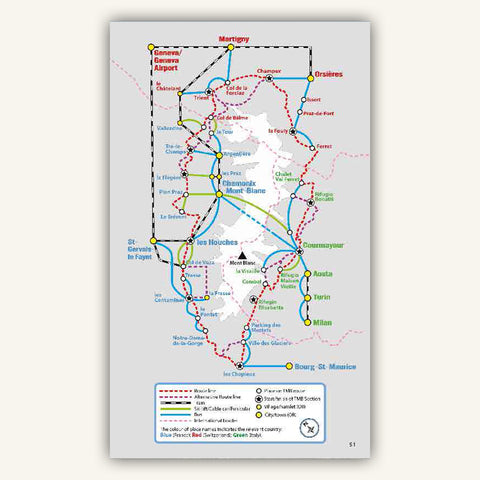
So what follows is a list of some of those places, described in an anti-clockwise direction starting in les Houches. The stage numbers referred to are the stage numbers used in our guidebook.
1. Col de Tricot Variant (Stage v1a)
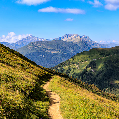
The crossing is north to south or vice versa so there can be a great difference in snow pack between the two sides. In particular, take care on the north side of the col: the snow lies longest there and the path contours across a steep incline (see image). The good news is the col (at 2120m) is not one of the highest so snow does clear earlier here than in other places. Early season hikers should ask about conditions in les Houches before setting out: if in doubt take the main TMB route (Stage 1a) which is much lower.
Plan fast and beat the rest
We help you to secure precious accommodation spots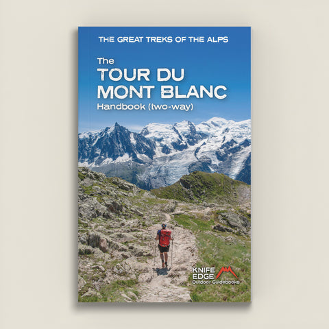


Le guide du Tour du Mont-Blanc (dans les deux sens)
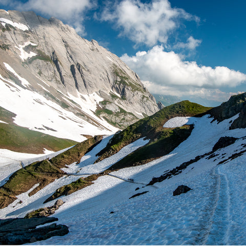
2. Col de Bonhomme & Col de la Croix de Bonhomme (Stage 2c)
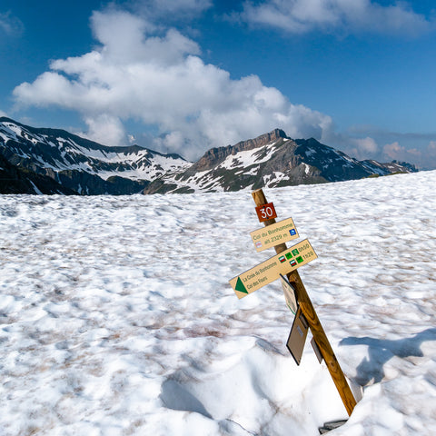
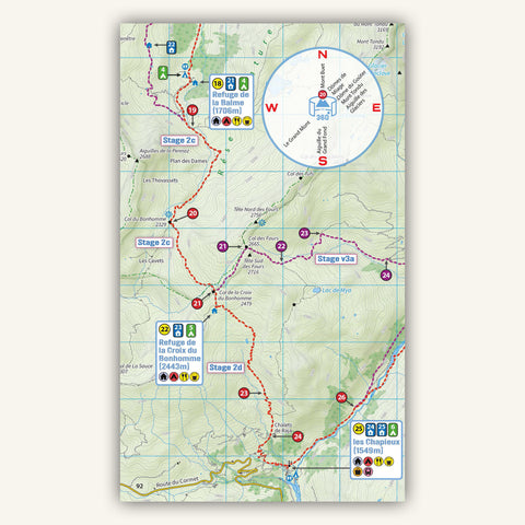
Take care on the entire section between the northern approach to Col de Bonhomme and Refuge de la Croix de Bonhomme. Altitudes are high and snow lies pretty late. The climb to Col de Bonhomme is steep and north facing so can be slippery in snowy conditions. Also, take great care on the exposed traverse straight after Col de Bonhomme: the slope is steep and a fall could be serious. I felt very happy having an ice axe there in early June last year although few other people were carrying them. After Col de Bonhomme, navigation can be tricky if the path has been obscured by snow.
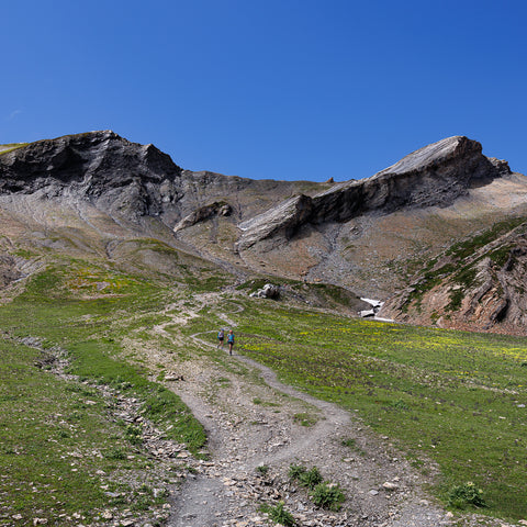
3. Col des Fours (Stage v2d)
The joint-highest place on the TMB. Do not attempt this in snowy conditions. The eastern side is extremely steep and if you slip you could slide all the way to the bottom: see the saddle in the middle of the image. Navigation would also be a serious undertaking here in snowy conditions. Further down treaherous snow bridges can form: in recent years, a trekker lost her life when one of them collapsed.
Easier Planning
The only TMB map that shows huts, food and stores along the route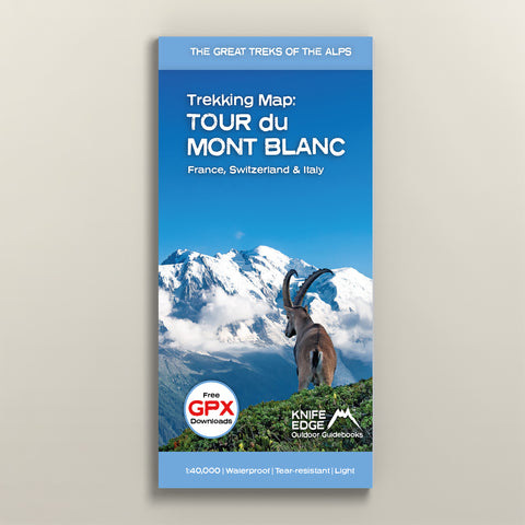

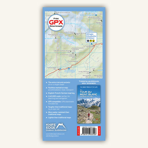
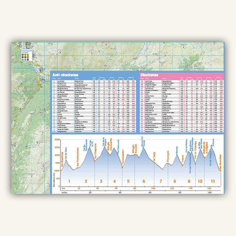
Carte de randonnée du Tour du Mont-Blanc
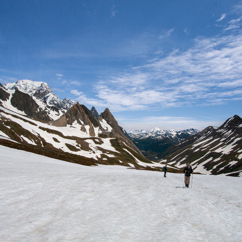
4. Col de la Seigne (Stage 3b)
Another high col where snow can lie late. It is not as steep (on either side) as some other cols but still watch your footing: we witnessed a foolish group descending in very snowy conditions in tennis shoes with no grip. They were lucky. In a heavy year, snow can remain in June almost all the way from the col to Rifugio Elisabetta. Normally, the route is well tracked by others before you but just take care over your navigation.
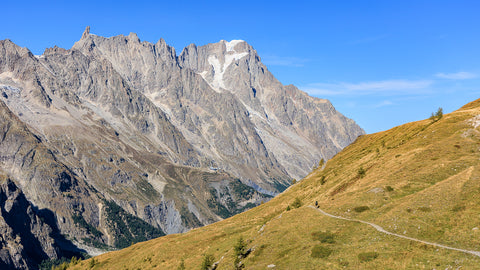
5. Combal to Rifugio Maison Vieille (Stage 4b)
This balcony path has many traverses with steep drops. In snowy conditions these can be treacherous. You may find that the traverses have been tracked by others but do not follow these footprints slavishly. It is not axiomatic that the people before you have selected the correct and safest crossing. A fall on one of the traverses, which can be icy, could be serious.
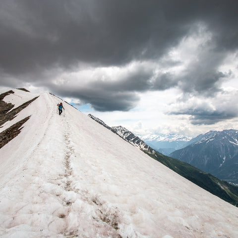
6. Rifugio Bertone to Rifugio Bonatti (Stage 5b)
A series of streams are crossed on this stage and snow bridges tend to form across them. Take great care crossing snow bridges: if one collapsed with you on it then you could be seriously injured. Again, do not necessarily follow the tracked path. Look for the thickest part of the snow pack to cross. If it look dangerous head up or down stream until you find a safe place to cross.
Spending a few extra days in Chamonix?
This book will ensure that you get the most out of precious vacation time
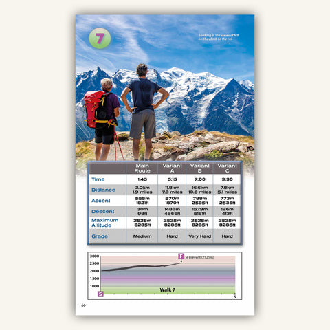
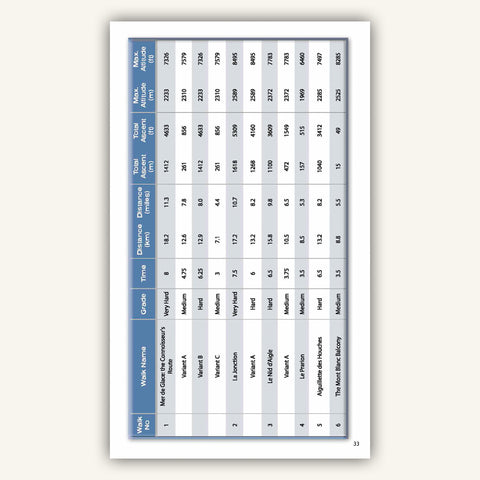
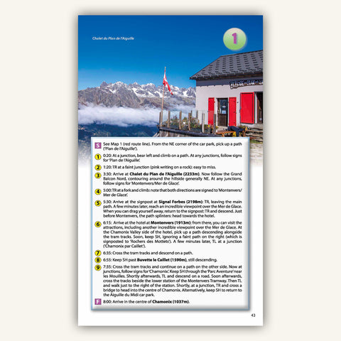
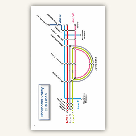
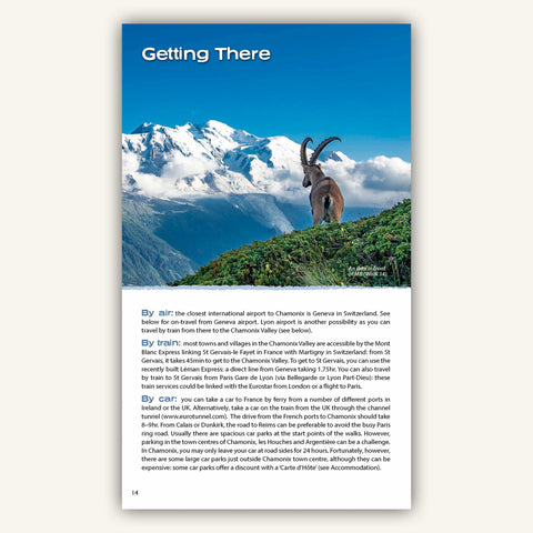
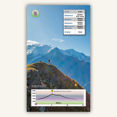
Randonnée à Chamonix-Mont-Blanc
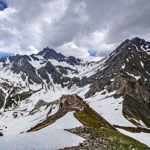
7. Mont de la Saxe Variant (Stage v5b)
Avoid this variant in snowy conditions when navigation is tricky. After Tête de la Tronche, snow often lies late into the season.
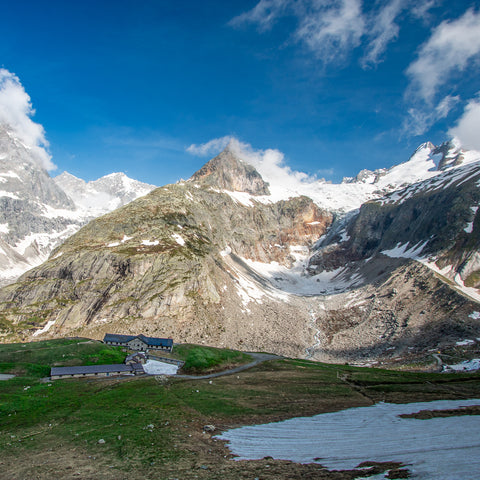
8. Rifugio Bonatti to Rifugio Elena (Stage 6a and 6b)
There are more steep traverses. The comments above apply here also.
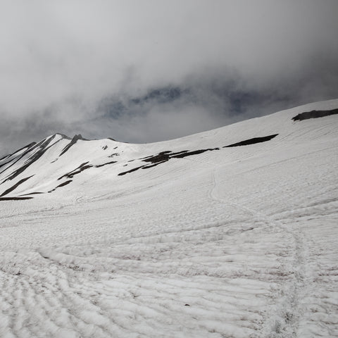
9. Rifugio Elena to Grand Col Ferret (Stage 6c)
Take care on the entire climb to and descent from the col. In particular, the first part of the climb just after Rifugio Elena is treacherous in snowy conditions.
TMB 20% Bundle
Buy both Guidebook and Map to save 20%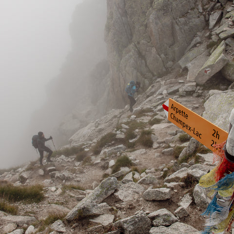
10. Fenêtre d’Arpette (Stage v8)
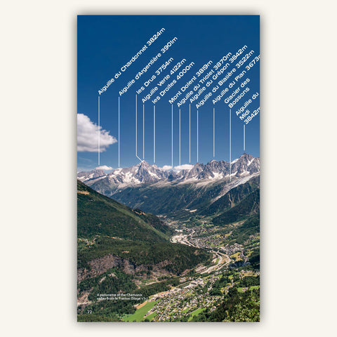
We will be blunt here: avoid this entirely if there snow still lying. You could die. It is extremely steep at the col (see image). And navigating the boulder crossings in snowy conditions is for adequately equipped walkers with good winter skills only.
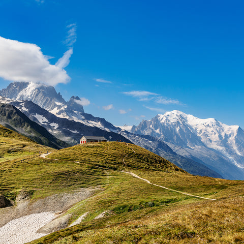
11. Col de Balme (Stage 9b)
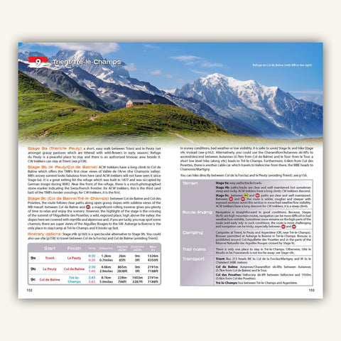
It is not the highest col so is unlikely to be the worst thing you undertake but take care anyway if snow is lying.
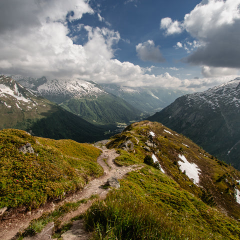
12. Aiguillette des Posettes (Stage 9c)
There are steep drops along the ridge and the descent is long and very steep. Avoid this section in snowy conditions and take the safer variant (Stage v9c) instead.
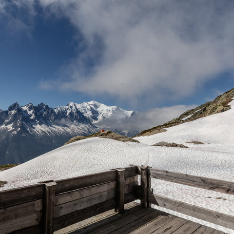
13. Lac Blanc (Stage v10)
Snow can remain into early summer. Some of the sections of the approach to the lake are steep: these become slippery and treacherous in the snow. Ask locally before setting out on this variant.
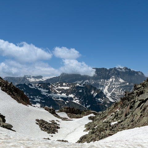
14. Col du Brévent (Stage 11a)
The section between Planpraz and le Brévent is very difficult to navigate in snowy conditions. It passes through some remote terrain and it would be easy to get lost. Snow tends to accumulate around the col and can be some of the last snow to melt on the TMB. In the past, we have been very glad to have an ice axe there in mid-June.
Why are our guidebooks better?

What you really need to know is how to plan a trek: itineraries, accommodation, food, water, etc. However, for our competitors, trek planning is a mere afterthought and they fill their books with step by step directions for navigating the trail. Yet these days, most people navigate trails using GPX tracks and over-complicated directions are unnecessary. Accordingly, we focus in much greater detail on trek planning so that you can snag the best accommodation bookings. We still provide directions but they are more concise and user-friendly.

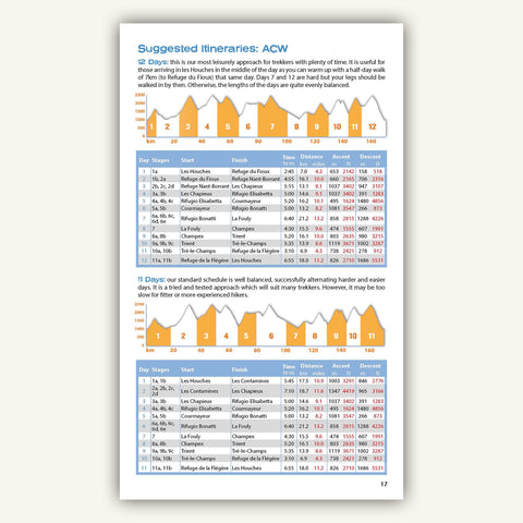
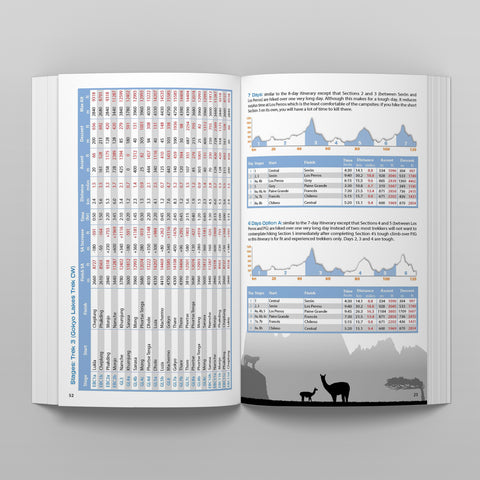
When planning a trek, the first step is to design an itinerary that matches your ability and experience. There is little point in booking trail accommodation until this is finalised. Our itinerary planners are far more comprehensive than anybody else's. We include up to 20 different itineraries and provide daily statitics for each of them. This enables you to quickly choose one that suits, saving you hours of work. You will not find these in any other books or on the web.

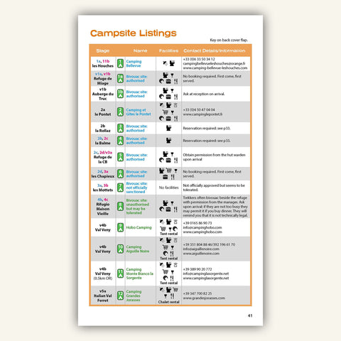
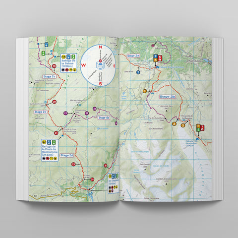
Unlike other books which contain useless sketch maps, ours contain real maps. In most cases, we produce our own mapping which is more up to date than many other traditional maps. Because we make our own, we can mark on them all accommodation, food and shops along the trail. This helps you to understand exactly where you can stay and where you will resupply. Other books do not provide this level of detail.

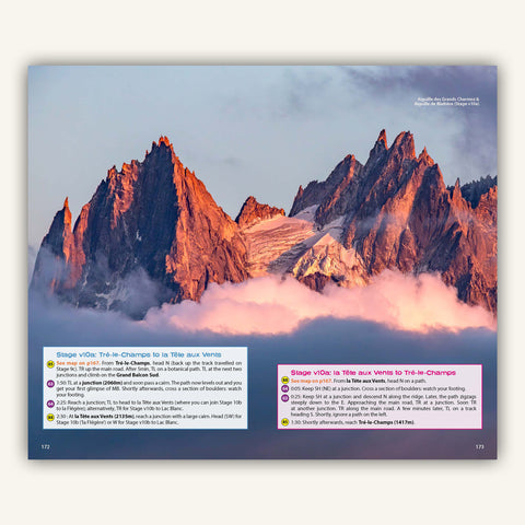
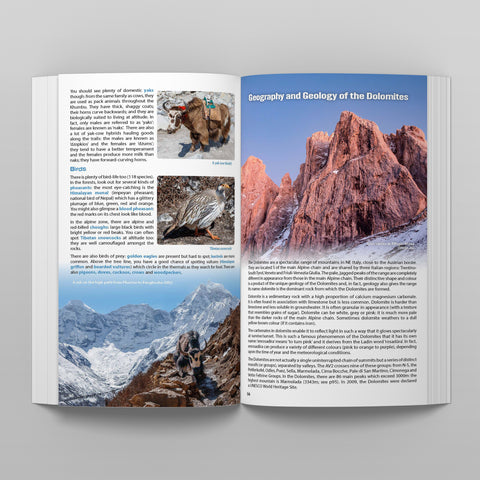
Our designs are more modern and exciting. Our professionally captured images help you visualise what you will see along the trail. There is nothing wrong with salivating over spectaular scenes even though your trek might be a year away!

The Great Treks of the Alps
The ultimate planning guides for the best alpine treks


