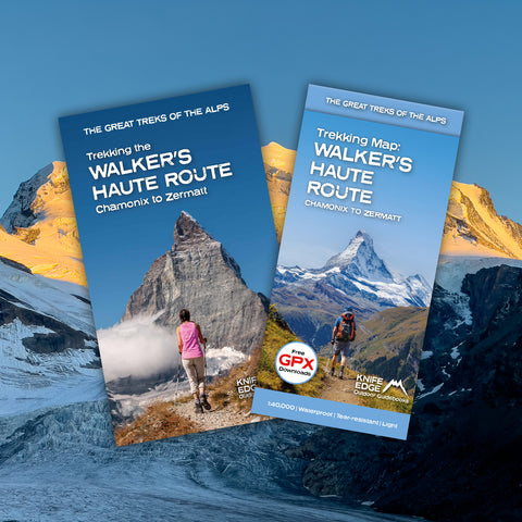
The Walker's Haute Route: Chamonix to Zermatt
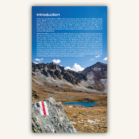
An incredible trek between the two most famous mountain towns in the Alps. Travelling from Chamonix in France to Zermatt in Switzerland, you will start at Mont Blanc and finish at the Matterhorn. On the way, pass the largest collection of snowy 4000m summits in the Alps: Mont Blanc, Grand Combin, the Weisshorn, the Zinalrothorn, the Dom, the Täschhorn, the Breithorn and the Matterhorn, to name a few. The WHR is 206km long with 14,000 metres of ascent and 13,500 metres of descent. 12 magnificent mountain passes (or cols) are crossed.
What kind of scenery can I expect?
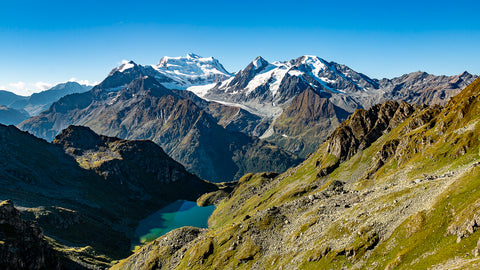
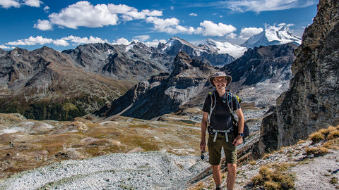
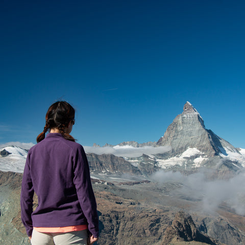
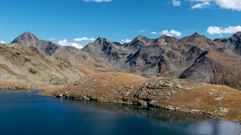
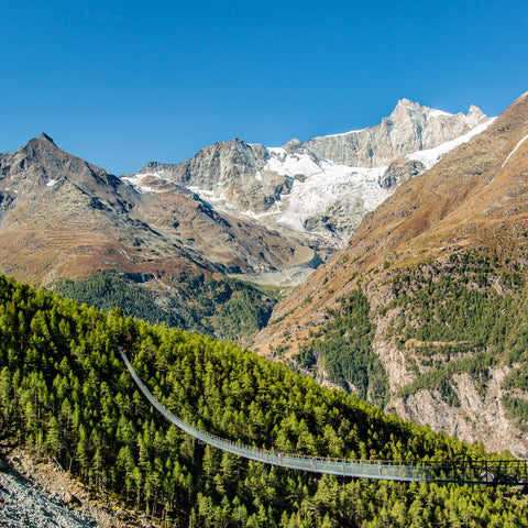
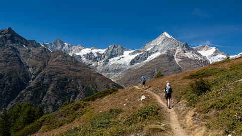
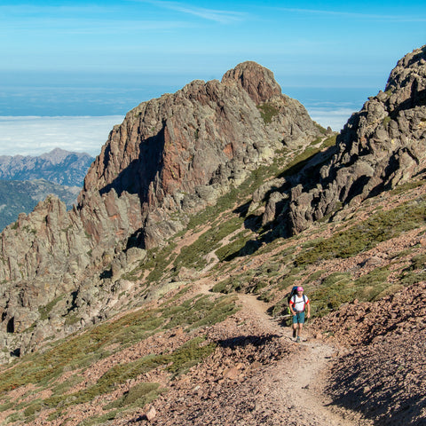
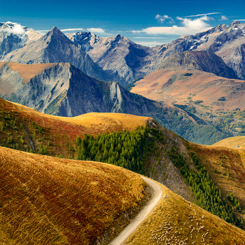
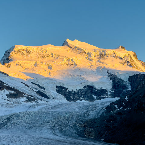
The WHR has everything you would expect from the Alps and much more. Almost daily, you cross incredible high mountain passes (or cols) enabling passage from magnificent valley to magnificent valley. And there are exquisite alpine pastures, sparkling azure lakes, and carpets of wild flowers, the like of which you will never have seen before. But there are perhaps two other key features of the WHR. Firstly the wildness: the WHR has sections which are fabulously remote and rugged. It is an intense and adventurous mountain experience. Secondly, the magnificent glaciers: they are everywhere you look on almost every stage. Furthermore, you get very, very close to some of them.
One stop info source for WHR planning
Don't waste precious hours trawling the internet

Trek de la Haute Route des Marcheurs : de Chamonix à Zermatt
How long does it take?
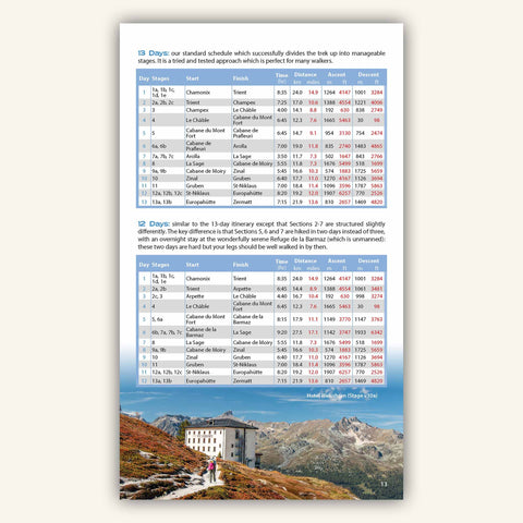
Normally it is walked in 12-14 days. But fitter walkers can have a go at schedules of 10 or 11 days. Our guidebook sets out 6 different itineraries of 14, 13, 12, 11 and 10 days. It really is up to you and your fitness level.
Well now that we have brought up fitness levels....Am I fit enough to do it?
The WHR is slightly tougher than the Tour du Mont Blanc (TMB) so it is the logical next step for those looking for a new challenge. However, most reasonably fit people could complete it: yes it is a challenge but it is a realistic one. Get as fit as you can before you go, plan a sensible itinerary to match your fitness level and travel light.
What are the trails like?
Mostly clear paths and tracks. There are some more difficult rocky sections but these are the exception rather than the rule. There is no glacier walking. There are waymarks and signs to guide you. In mid-summer and autumn, paths are usually dry and firm. In June, snow can lie on the mountain passes.
Should I go on an guided trip or walk independently?
Well that depends on you. A self-guided trip can be a life-changing experience opening the door for future adventures. And the satisfaction of planning, booking and completing the WHR on your own is something to savour. Thousands of people guide themselves each year and many of them have never undertaken a trek before. But self-guided trekking is not for everyone: some prefer to have a guide to make all important decisions for them. And booking with a guiding company has other benefits too: they can organise food, accommodation and pack transfer so you don't need to carry it. Independent trekkers have to do all that for themselves.
Haute Route Bundle
Buy both Guidebook and Map to save 20%
When to go?
Mid-June to mid-September is the normal period for walking the WHR. Before and after these dates, some accommodation closes. You can walk in late September but check that you can find places to stay before you set out. As with all Alpine treks, in some years, high cols can be snow–covered until early July, making parts of the WHR difficult.
Where do you stay?
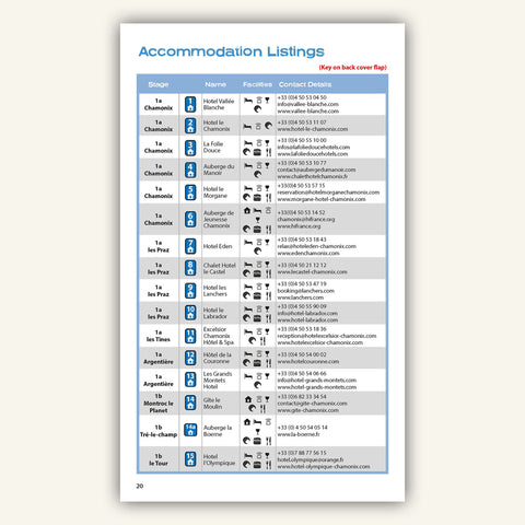
In some of the most fabulous settings you can imagine! Some of the overnight stops will be a highlight of your trip. There are remote mountain huts, lovely gîtes and hotels to choose from. Our guidebook has complete listings of the places to stay on the WHR.
Do I need to book in advance?
In July and August the mountain huts will likely be full so book ahead. In June and September there are fewer walkers and you can still normally get away with only booking a few days in advance (except at weekends). However, a few sections at the start of the trek are shared with the TMB: accommodation here always needs to be booked well in advance.
What do you mean by 'travelling light'?
The lighter your pack is the more you will enjoy the trek. Every oz counts. Standard advice is to bring 'only what is absolutely necessary' but what does that actually mean? We prefer the 'Will I die, or endure pain, without it?' test. For example, that hair dryer. Yes we know it is a light travel one but you will have to carry it up more than a Mount Everest. Will you die without it? No. You may have to endure rubbish hair for a few days though. Believe us that halfway up the first mountain pass, you will be considering jettisoning it. Do you really need that make-up? That full 500ml bottle of shampoo? That laptop? It is fair to say that the more treks you do, the lighter your pack becomes. Experience helps you sift out the things that you do not really need. Be ruthless about what you take.
Is camping permitted on the WHR?
This is complicated and there is no short answer. It can be done, and many do so, but it is harder than it used to be. There are some campsites but these are often spaced further apart than the mountain huts so your daily walking distance (carrying a heavier pack) tends to be longer. Switzerland and France each have different rules on wild camping which must be followed. But there are still places where it is allowed. Our guidebook has a full section on camping including listings of all the places where camping is permitted.
What are the best maps for the WHR?
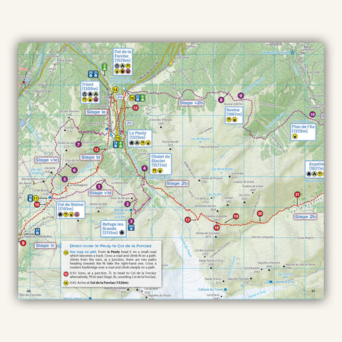
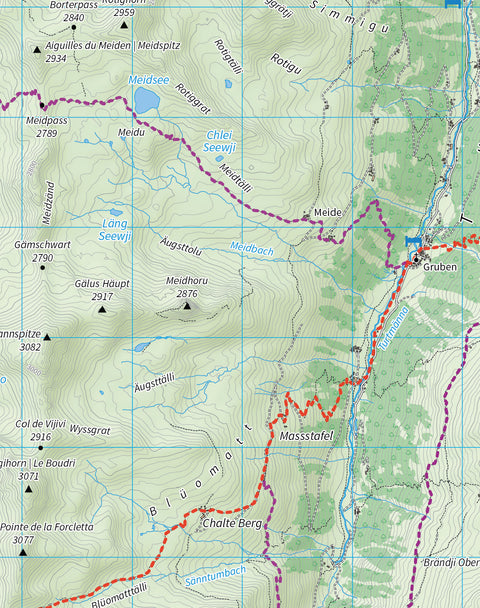
We were not happy with the maps previously available so we made our own bespoke sheet map especially for WHR trekkers. All accommodation, huts and other services are marked on the map. There is nothing else like it available and it is the best map in existence for planning and hiking the WHR.
The best map for planning and hiking the WHR
The entire WHR and variants on one sheet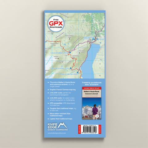
Carte de randonnée de la Haute Route de Walker (Chamonix à Zermatt)
Why are our guidebooks better?

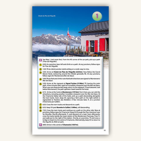
What you really need to know is how to plan a trek: itineraries, accommodation, food, water, etc. However, for our competitors, trek planning is a mere afterthought and they fill their books with step by step directions for navigating the trail. Yet these days, most people navigate trails using GPX tracks and over-complicated directions are unnecessary. Accordingly, we focus in much greater detail on trek planning so that you can snag the best accommodation bookings. We still provide directions but they are more concise and user-friendly.

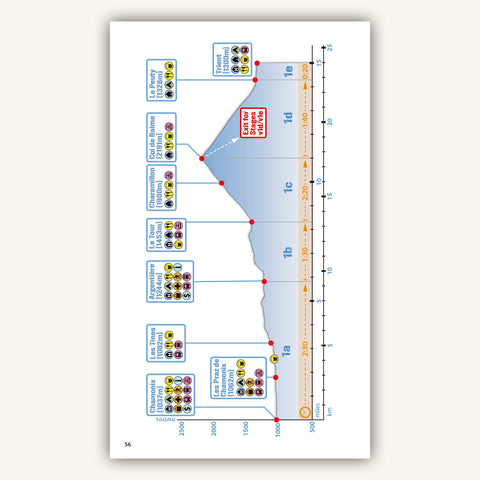
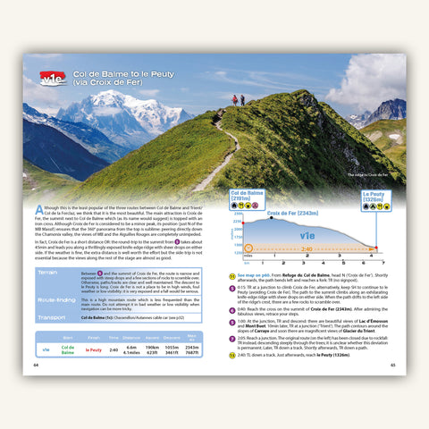
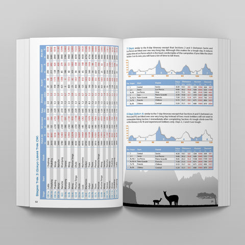
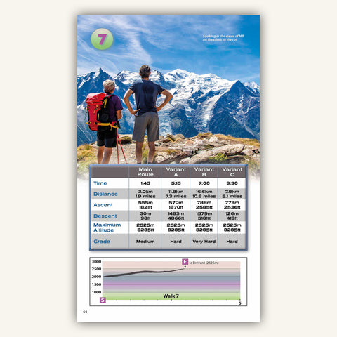
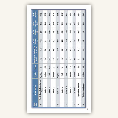
When planning a trek, the first step is to design an itinerary that matches your ability and experience. There is little point in booking trail accommodation until this is finalised. Our itinerary planners are far more comprehensive than anybody else's. We include up to 20 different itineraries and provide daily statitics for each of them. This enables you to quickly choose one that suits, saving you hours of work. You will not find these in any other books or on the web.

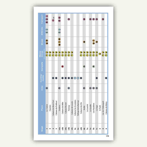
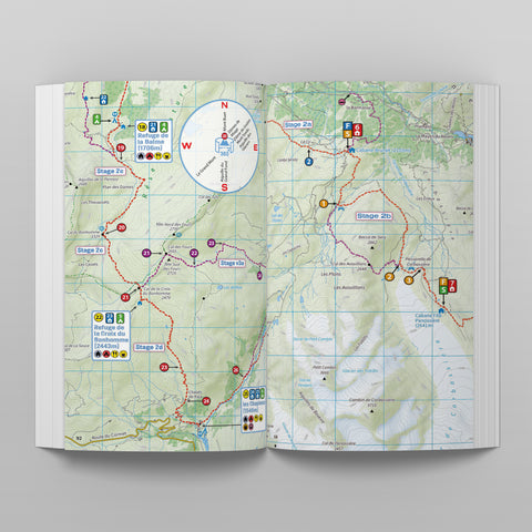
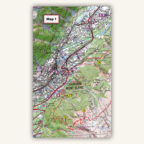
Unlike other books which contain useless sketch maps, ours contain real maps. In most cases, we produce our own mapping which is more up to date than many other traditional maps. Because we make our own, we can mark on them all accommodation, food and shops along the trail. This helps you to understand exactly where you can stay and where you will resupply. Other books do not provide this level of detail.

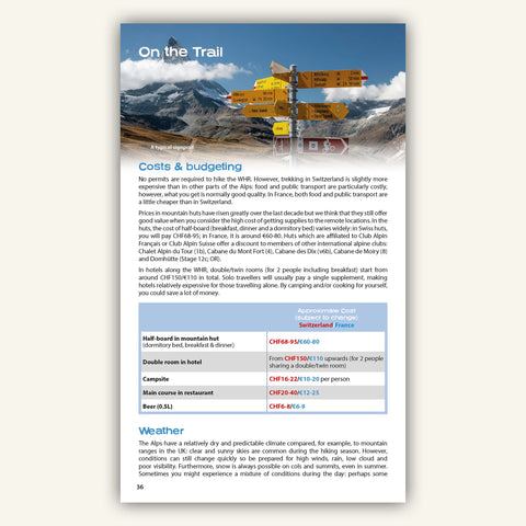
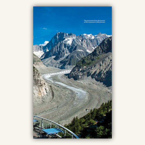
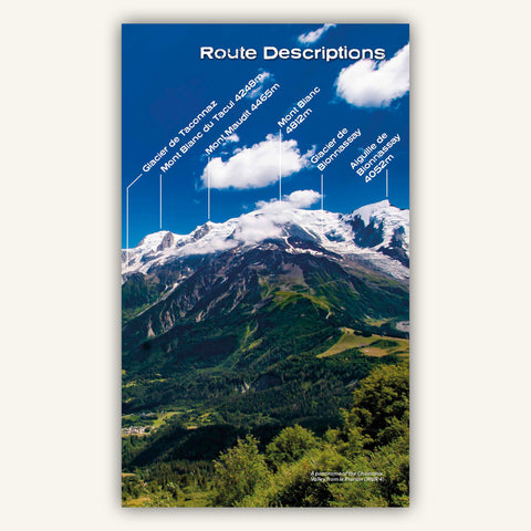
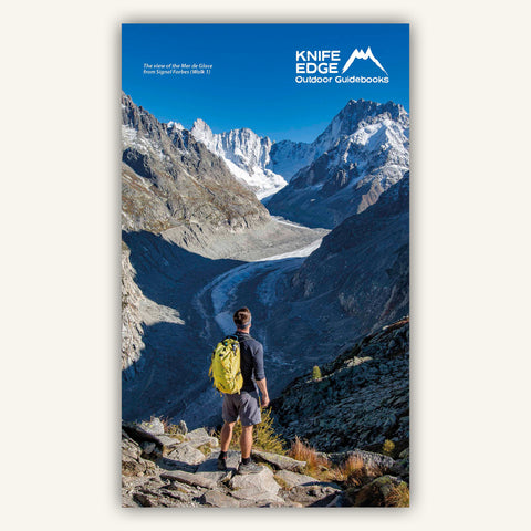
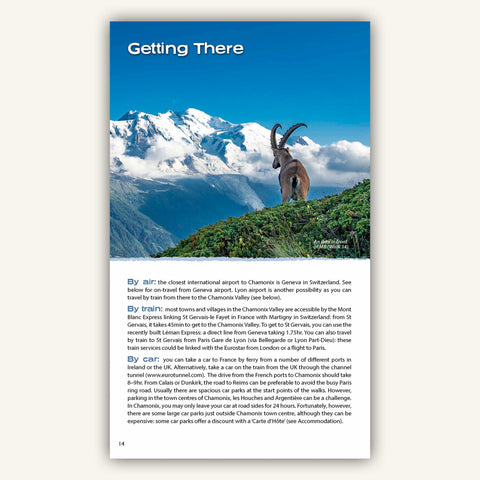
Our designs are more modern and exciting. Our professionally captured images help you visualise what you will see along the trail. There is nothing wrong with salivating over spectaular scenes even though your trek might be a year away!

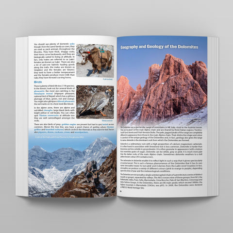
Spending a few extra days in Chamonix?
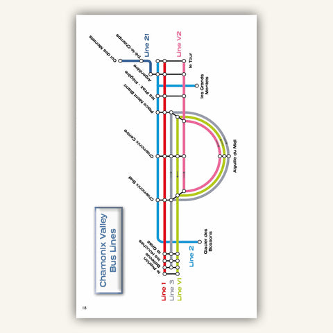
This book will ensure that you get the most out of precious vacation time
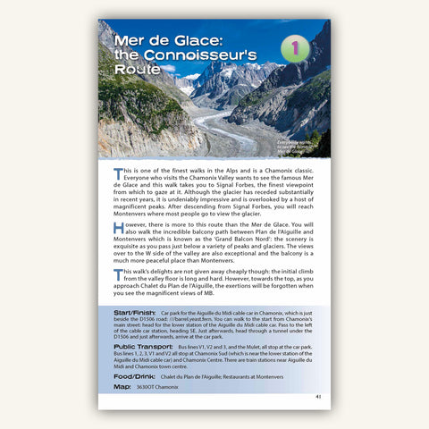
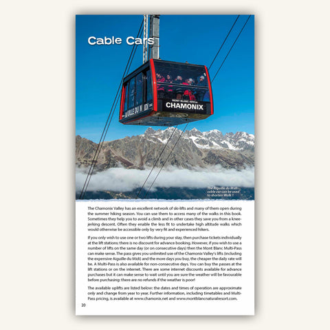
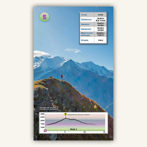
Randonnée à Chamonix-Mont-Blanc
The Great Treks of the Alps
The ultimate planning guides for the best alpine treks